This course is an ideal follow on for anyone who has attended our beginners navigation course, or for people looking to to start exploring away from the well trodden paths This courses cover essential map reading skills.
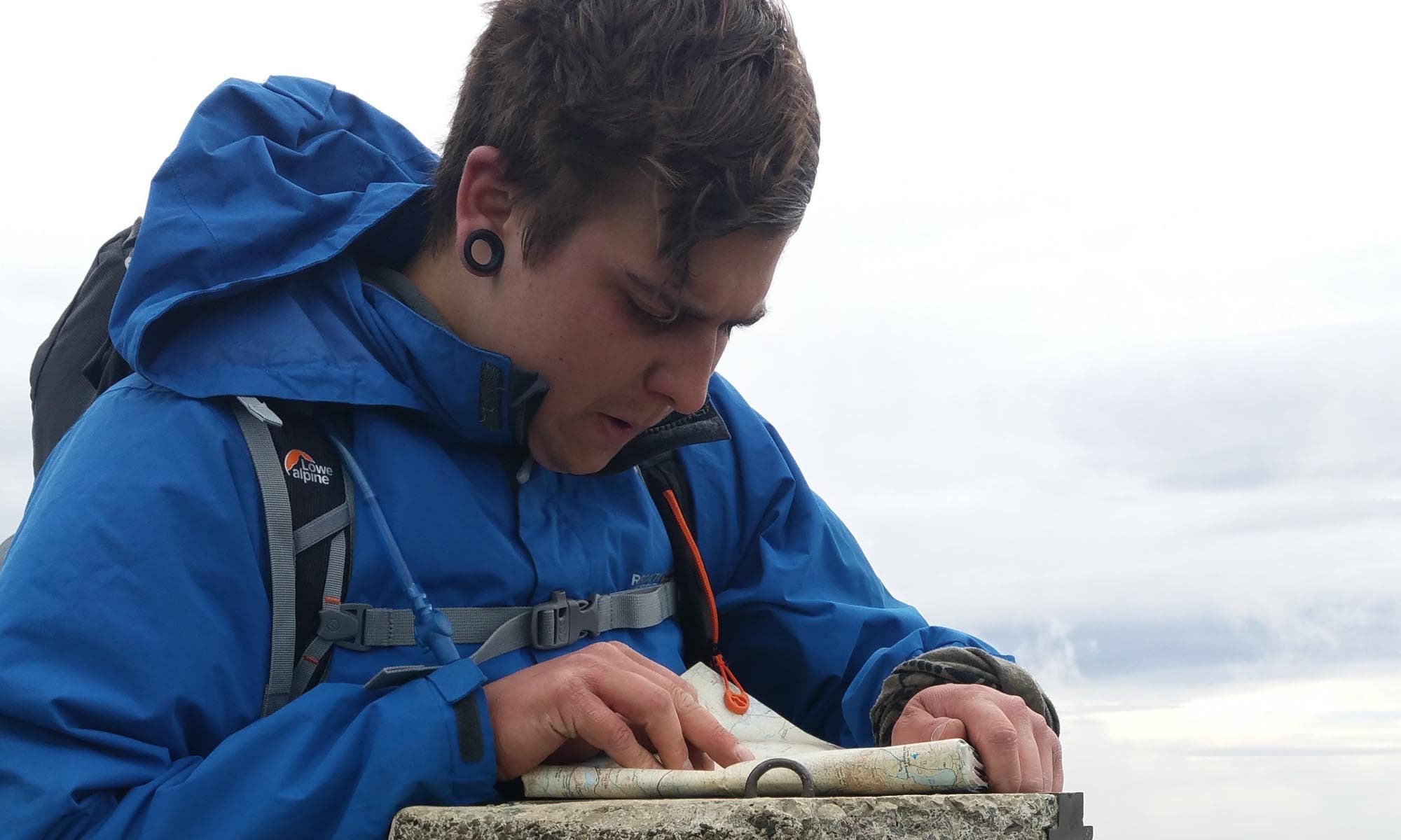
On this course you will learn the skills required to navigate to features and places some distance from paths and tracks. It teaches accurate compass work. It will also teach you to select the suitable navigational techniques to cross open country.
Cost £150.00
Click here for courses in the diary
This course can be run in the following locations.
The Malvern Hills.
The Malvern Hill are a range of hills in the English counties of Worscestershire , Herefordshire and a small area of northern Gloucestershire, dominating the surrounding countryside and the towns and villages of the district of Malvern. The highest summit of the hills affords a panorama of the Severn valley with the hills of Herefordshire and the Welsh mountains, parts of thirteen counties, the Bristol Channel, and the cathedrals of Worcester, Gloucester and Hereford.
Bredon Hill.
Bredon Hill is a hill in Worcestershire, England, south-west of Evesham in the Vale of Evesham. The summit of the hill is in the parish of Kemerton, and it extends over parts of eight other parishes (listed below). The hill is geologically part of the Cotswolds and lies within the Cotswolds Area of Outstanding Natural Beauty. However, as the result of erosion over millions of years, it now stands isolated in the Vale of Evesham.
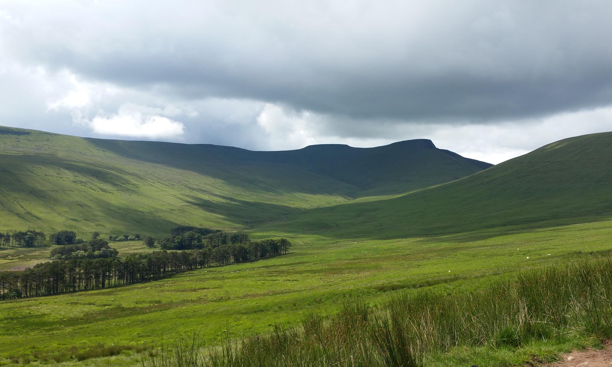
Brecon Beacons national park. South Wales
The Brecon Beacons (Welsh: Bannau Brycheiniog) is a mountain range in South Wales. In a narrow sense, the name refers to the range of Old Red Sandstone peaks which lie to the south of Brecon. Sometimes referred to as “the central Beacons” they include South Wales’ highest mountain, Pen y Fan. The range forms the central section of the Brecon Beacons National Park (Parc Cenedlaethol Bannau Brycheiniog), a designation which also encompasses ranges both to the east and the west of “the central Beacons”. This much wider area is also commonly referred to as “the Brecon Beacons”, and it includes the Black Mountains to the east as well as the similarly named but quite distinct Black Mountain to the west. The highest peaks include Fan Brycheiniog to the west and Pen y Fan in the central part. They share the same basic geology as the central range, and so exhibit many similar features, such the north-facing escarpment and glacial features such as lakes and cwms (cirques) below the escarpment. They all fall within the border of the national park.
Snowdonia National park.
Situated on the west coast of Britain covering 823 square miles of diverse landscapes, Snowdonia National Park is a living working area, home to over 26,000 people. As well as being the largest National Park in Wales, Snowdonia boasts the highest mountain in England and Wales, and the largest natural lake in Wales, as well as a wealth of picturesque villages like Betws y Coed and Beddgelert. Snowdonia is an area steeped in culture and local history, where more than half its population speak Welsh